Description
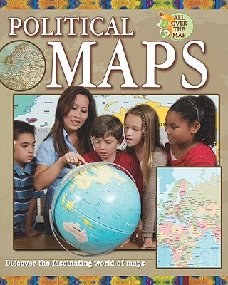
Political maps are often the first kind of maps children learn about. These maps identify the boundaries of countries, states or provinces, and cities, as well as such physical features as lakes and oceans. Detailed, up-to-date maps and clearly written text help readers understand how to use political maps to solve problems. Teacher's guide available.
Title Details
Author: |
Pegis, Jessica |
Publisher: |
Crabtree Publishing Company |
Language: |
English |
Copyright: |
2013 |
Number of Pages: |
32 |
Dewey: |
912 |
Dewey Range: |
900s |
Binding Type: |
Paperback |
Interest Age: |
10 |
Accelerated Reader Interest Level: |
Lower Grade |
Accelerated Reader Reading Level: |
4.9 |
Accelerated Reader Point Value: |
0.5 |
Guided Reading Level: |
R |
Guided Reading Interest Age: |
Grade 4 |
Lexile Level: |
770 |
Lexile Range: |
Developing Reader (500 - 799) |


