Description
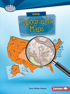
Want to know just how tall Mount Everest is? Or what the city of Denver's elevation is? Then look at a topographic map! These maps use lines to show the height and shape of Earth's surface. But how do you read the lines? And what other features do these maps have? Read on to learn the ins and outs of topographic maps!
Title Details
Author: |
Maurer, Tracy Nelson |
Publisher: |
Lerner Classroom |
Language: |
English |
Copyright: |
2016 |
Number of Pages: |
40 |
Dewey: |
912.014 |
Dewey Range: |
900s |
Binding Type: |
Paperback |
Accelerated Reader Interest Level: |
Middle Grade |
Accelerated Reader Reading Level: |
5.4 |
Accelerated Reader Point Value: |
0.5 |
Lexile Level: |
910 |
Lexile Range: |
Confident Reader (800 - 999) |


